|
| *****SWAAG_ID***** | 922 |
| Date Entered | 15/03/2016 |
| Updated on | 15/03/2016 |
| Recorded by | Tim Laurie |
| Category | Burnt Mound |
| Record Type | Archaeology |
| Site Access | Public Access Land |
| Record Date | 14/03/2016 |
| Location | Featham Pasture. Brunt Hill south slope |
| Civil Parish | Melbecks |
| Brit. National Grid | SD 98058 99198 |
| Altitude | 435m |
| Geology | Spring rise below the Underset Limestone. |
| Record Name | Featham Pasture. Brunt Hill south slope. Large burnt mound at spring rise. |
| Record Description | Large, 10m diameter mound of highly consolidated fire cracked, reddened and fissured sandstone located on the eastern bank of a spring rise on the steep lower slope of Brunt Hill. A large clump of soft rush indicates the location of the trough, at the top of the mound. A circular setting of large rocks indicates the presence of a hearth. Troughs and hearths are constant features of these sites.
This burnt mound site, interpreted as a sweat house/sauna of late Neolithic to mid Bronze Age date can be regarded as one element in the Later Prehistoric, Bronze Age landscape of Unenclosed Round House Settlements, Cairnfields and Round Cairns only now being recorded on Featham Pasture. See also SWAAG Record Nos .
Massed fragments of burnt stone are visible at several erosion patches, see photos. The top of this mound has been levelled and probably supported a timber framed, hide covered tent like structure.
The existence of an abandoned spring rise directly above the present spring rise and the mound indicates that the water table on this hill slope has subsequently dropped. |
| Dimensions | 10m diameter excluding the trough. |
| Additional Notes | This large burnt mound is located at the spring rise location most characteristic of these sites. Evidence of ethnology (the fact that indigenous people so considered)informs us that Springs may have been regarded by Late Neolithic/Bronze Age people as the interface between the land of the living and the underworld- the watery land of the dead where every living thing has its mirror image.(Reference: Alex Loktionov, 2012, see Publications Section of this Web Site) |
| Image 1 ID | 6724 Click image to enlarge |
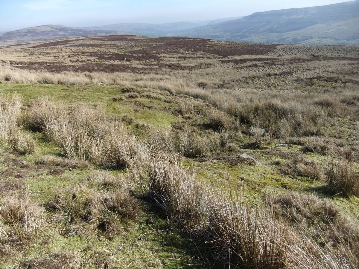
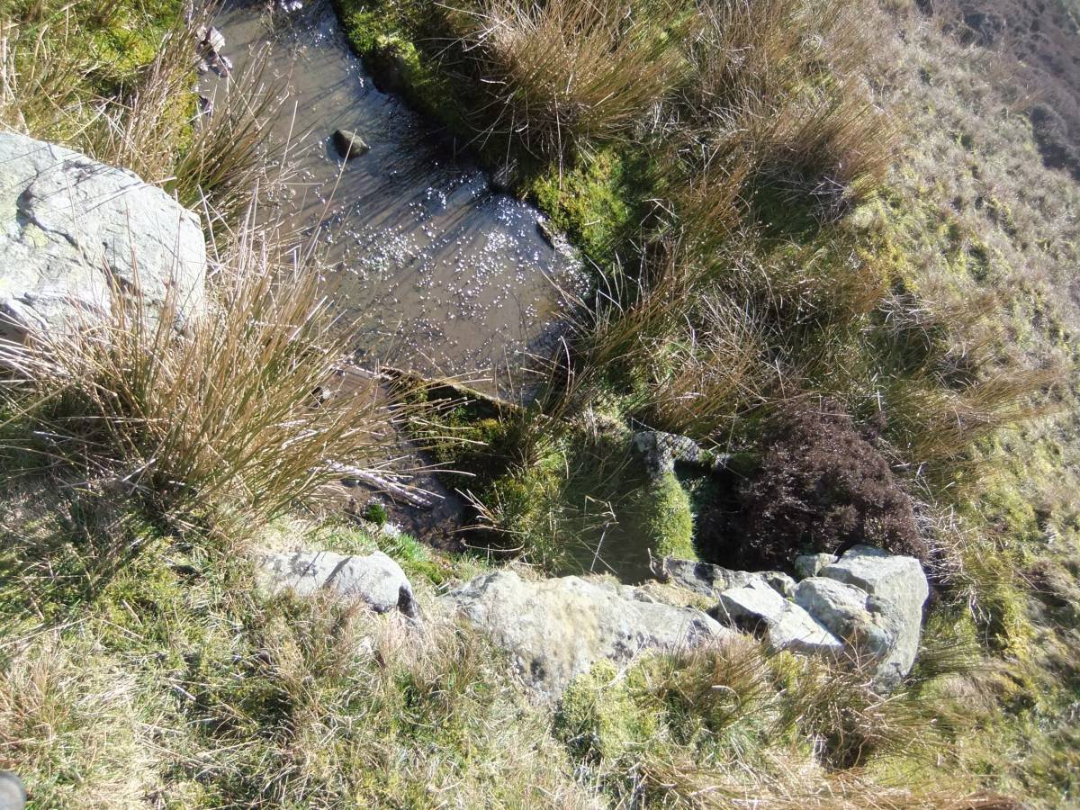
| Image 1 Description | The burnt mound is on the far side of the spring which, with two recent troughs-one of stone and one of wood, has been managed by the farms who share this pasture, as a water supply. | 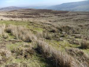 |
| Image 2 ID | 6723 Click image to enlarge |
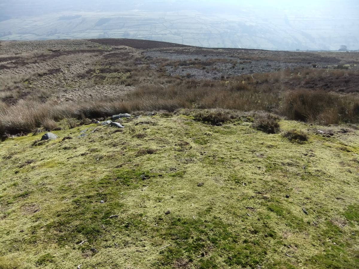
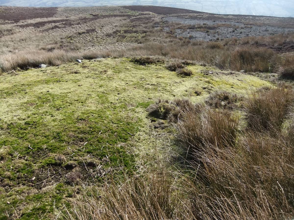
| Image 2 Description | The levelled top of the burnt mound is now covered below green moss. |  |
| Image 3 ID | 6726 Click image to enlarge |
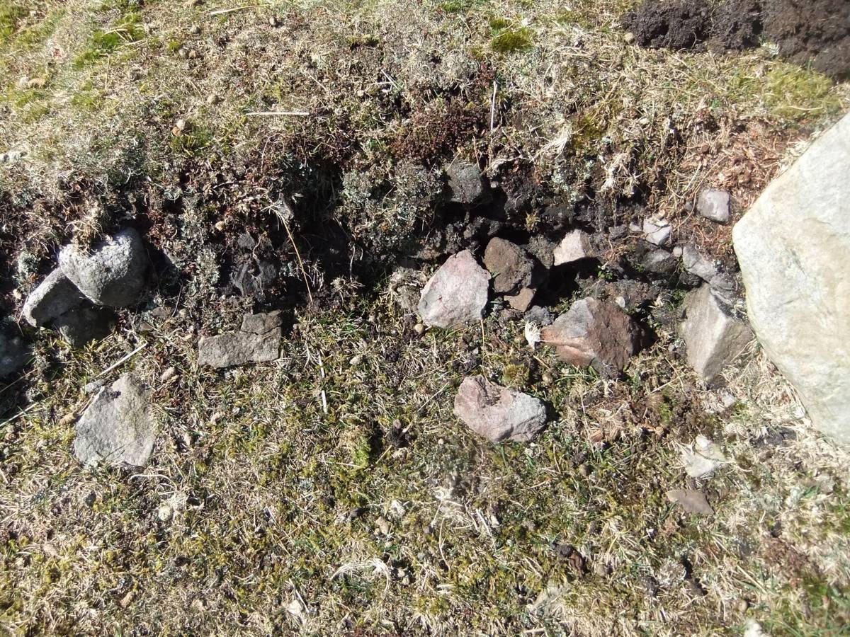
| Image 3 Description | The fire cracked reddened sandstone core is revealed at erosion patches. | 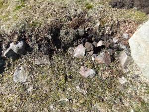 |
| Image 4 ID | 6725 Click image to enlarge |
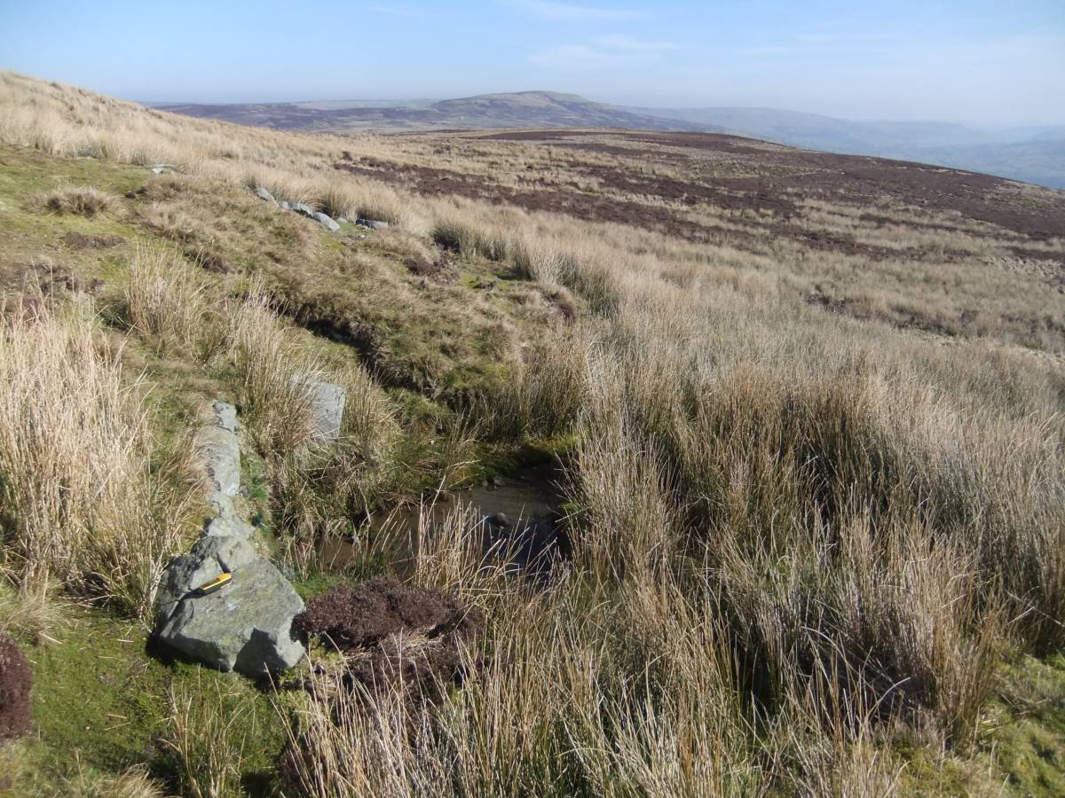
| Image 4 Description | Setting of large rocks mark the site of one of the hearths which are always present in the vicinity of these sites. | 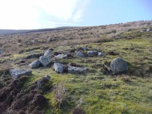 |
| Image 5 ID | 6727 Click image to enlarge |
| Image 5 Description | The spring rise and mound. | 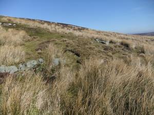 |
| Image 6 ID | 6728 Click image to enlarge |
| Image 6 Description | The spring rise. | 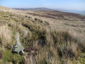 |
| Image 7 ID | 6729 Click image to enlarge |
| Image 7 Description | the bright moss covered levelled top of the mound. | 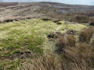 |
| Image 8 ID | 6730 Click image to enlarge |
| Image 8 Description | Two troughs, one of stone and one of wood show that this constant spring is managed as a supply of water scares on this moor. |  |